Navigating Kittredge Creekfront Cabin Risks & Floodplains
March 24, 2026
March 24, 2026
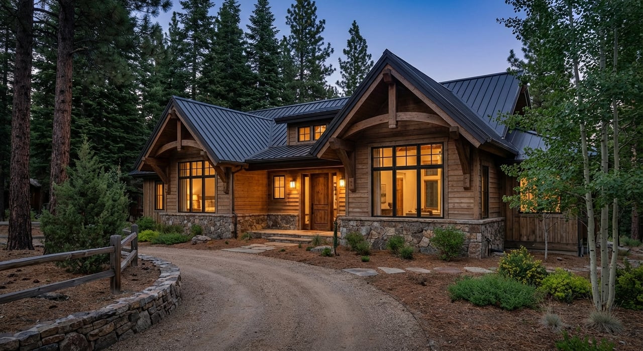
You can fall in love with the sound of Bear Creek out your window and still keep both feet on solid ground. If you’re eyeing a creekfront cabin in Kittredge, you know the setting is rare. You also know water brings rules, inspections, and insurance questions. This guide gives you a clear, step-by-step way to evaluate risk, read the maps, budget for insurance, and plan inspections without losing momentum. Let’s dive in.
Bear Creek is a steep mountain stream that can rise quickly during spring snowmelt and short, intense storms. The flow can carry debris like logs and boulders, and bank erosion or channel shifts can occur in narrow canyon reaches. For real-time context while you research a specific parcel, check the USGS monitoring gage at Kittredge.
Mountain stream flooding behaves differently than broad river plains. In addition to fast, rising water, post-wildfire conditions can boost debris flow risk and change how a channel moves. Colorado’s statewide guidance explains these processes and why local, site-specific checks matter on steep streams like Bear Creek. See the state’s overview of flood hazards and mountain-stream risks.
FEMA’s Flood Insurance Study and county FIRM panels set the official flood zones used by lenders and local regulators. In Kittredge, this includes the reach mapped as “Bear Creek (Kittredge to Evergreen).” You can review the technical basis and zone definitions in the county’s FEMA Flood Insurance Study and FIRM panels.
Key terms you will see:
Flood maps are a critical starting point, but they are not a site-specific risk audit. Small tributaries, narrow canyon spots, localized scour, and historic channel changes may not be fully reflected. Jefferson County acknowledges these limits and uses supplemental tools for mountain reaches. For official floodplain determinations, Elevation Certificate records, and permitting guidance, work with Jefferson County Floodplain Management.
A fast pre-screen can save time:
If a structure that secures a mortgage from a federally regulated or insured lender is located in an SFHA on the effective FIRM, federal law generally requires flood insurance for the life of the loan. A successful Letter of Map Change can remove the federal mandatory purchase requirement if FEMA accepts it. You can review how Letters of Map Amendment or Revision work in FEMA’s Online LOMC guidance.
An Elevation Certificate often drives accurate NFIP rating and supports LOMA/LOMR requests. If none exists, a licensed land surveyor can produce one. Jefferson County may already hold prior Elevation Certificates tied to the parcel.
When pricing coverage, the state recommends checking both NFIP availability and private-market options and reminds buyers of the typical NFIP waiting period of about 30 days for new policies. Start early and share quotes with your lender during due diligence. See the Colorado Division of Insurance’s consumer flood-insurance guidance.
Jefferson County participates in FEMA’s Community Rating System program. This can reduce NFIP premiums for homeowners in participating jurisdictions. CRS class and discounts can change, so confirm the current status with the county flood office or your insurance agent.
Older mountain cabins often show a pattern of moisture and foundation wear that is manageable when caught early and expensive when ignored. Common findings include:
Add targeted, site-aware checks to your due diligence:
Use this ordered, practical workflow to avoid surprises and protect leverage during negotiations.
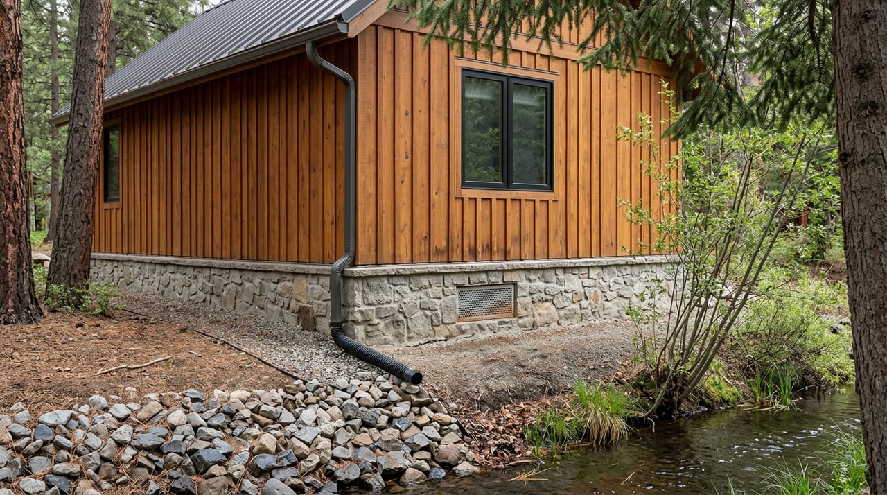
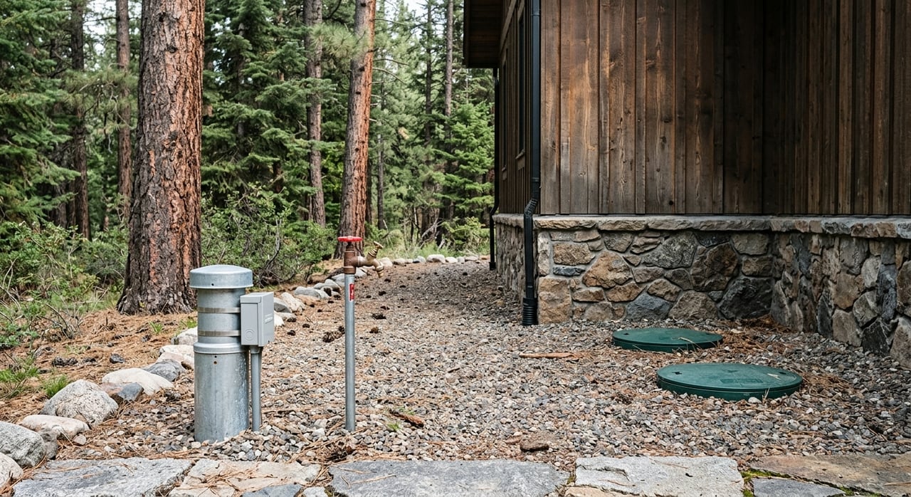
A little prevention goes a long way on Bear Creek. Routine steps include clearing gutters and downspouts, keeping driveway culverts free of debris, maintaining a stable vegetated buffer along the bank, and moving heavy woody debris away from the channel. Many owners also install sump pumps with battery or generator backup.
Larger projects may be appropriate after expert review and with proper permits. Options include raising utilities or the lowest floor, using flood-resistant materials below the BFE, and engineered bank protection designed by a qualified engineer. FEMA’s homeowner guide summarizes the tradeoffs and costs of common strategies. Review the P-312 overview of mitigation options and materials before you budget.
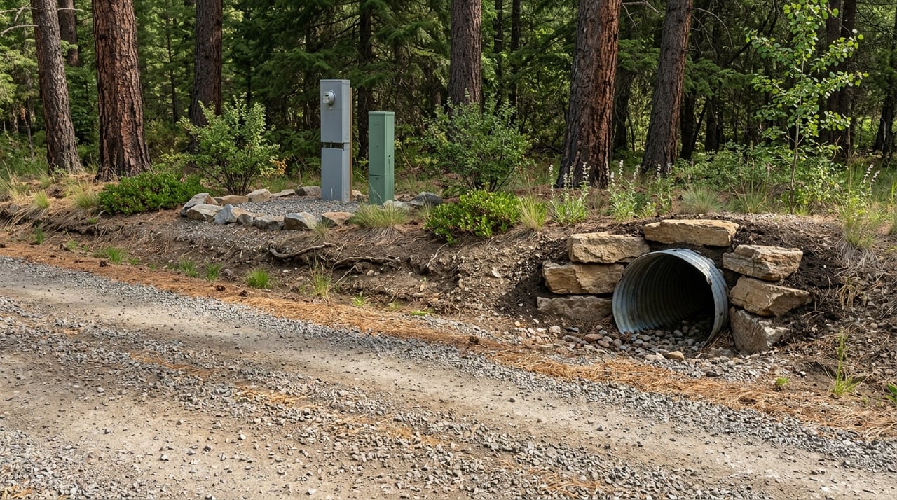
Remember that Jefferson County prohibits obstructing natural drainage ways, and work within mapped floodplains requires a Floodplain Development Permit. Confirm the need for permits with the county before you grade, place rock, or add structures near the creek.
During spring runoff and summer thunderstorms, keep an eye on real-time tools and local context. The USGS gage at Kittredge offers flow and level trends for situational awareness. For a broader view of historic flood behavior and local warning practices, review the regional Bear Creek Flood Warning Plan maintained by the local district. The document provides valuable context for preparedness and response. You can read the plan here: Bear Creek Flood Warning Plan.
Creekfront living in Kittredge can be a wise, long-term choice when you approach it with clear eyes and good process. Focus on three must-do steps: 1) request and review the Colorado Seller’s Property Disclosure, 2) confirm FEMA and Jefferson County map status and secure an Elevation Certificate, and 3) order early flood-insurance quotes and targeted inspections, adding engineering when the site demands it. With the right team and due diligence, you can enjoy the setting and protect your investment.
If you want legal-grade guidance and a calm, experienced hand from first showing to close, connect with Dawn Zalfa for a confidential consultation tailored to Kittredge creekfront cabins.
Stay up to date on the latest real estate trends.


Dawn has extensive experience in negotiation, contracts, and risk management which allows her to provide the very best advice and service to her real estate clients.